
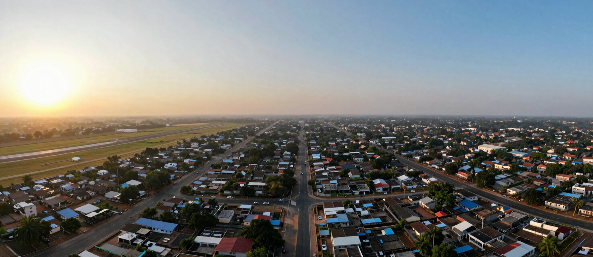
Where the city meets its air gateway
Coimbatore's growth corridor runs through Sulur. Airport-adjacent, infrastructure-complete, and on the mapped path of documented public investment.
Mapped, not marketed
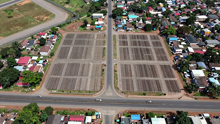
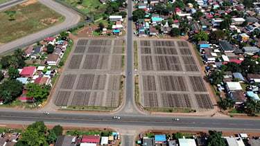
Signature City Sulur sits in Kadampadi Village—6 km from Coimbatore International Airport, on NH-544, with the Sulur–Avinashi corridor directly accessible.
Every distance cited on this page is road-measured, not straight-line. No aspirational radius claims.

Every landmark, road-measured
6 km — Coimbatore International Airport
Direct access via NH-544. The airport anchor makes Sulur the city's fastest-appreciating outer corridor.
8–14 km — Hospitals, Colleges & Schools
PSG Hospitals, KG Hospital network, and SKCET Engineering College all within 14 km on mapped arterial roads.
10–18 km — IT Parks & Retail Corridors
TIDEL Park Coimbatore, CODISSIA Trade Fair Complex, and Brookefields Mall within a single commute window.
Government investment, documented appreciation
NH-544 four-laning — approved and funded
Airport expansion — Phase II underway
Industrial zones — SIPCOT Sulur allocation
The Coimbatore–Erode NH-544 four-laning project is under NHAI execution—reducing travel time and raising corridor land values on a scheduled, not speculative, timeline.
SIPCOT's designated industrial allocation in the Sulur belt drives employment inflow—historically the strongest predictor of sustained residential land appreciation in tier-2 corridors.
Coimbatore International Airport's Phase II capacity expansion directly increases demand for residential and investment land within its 10 km catchment zone.